Project Zomboid Tools
Project Zomboid Irvington Map
Farm country in the south west, and about a third bigger than Ekron.
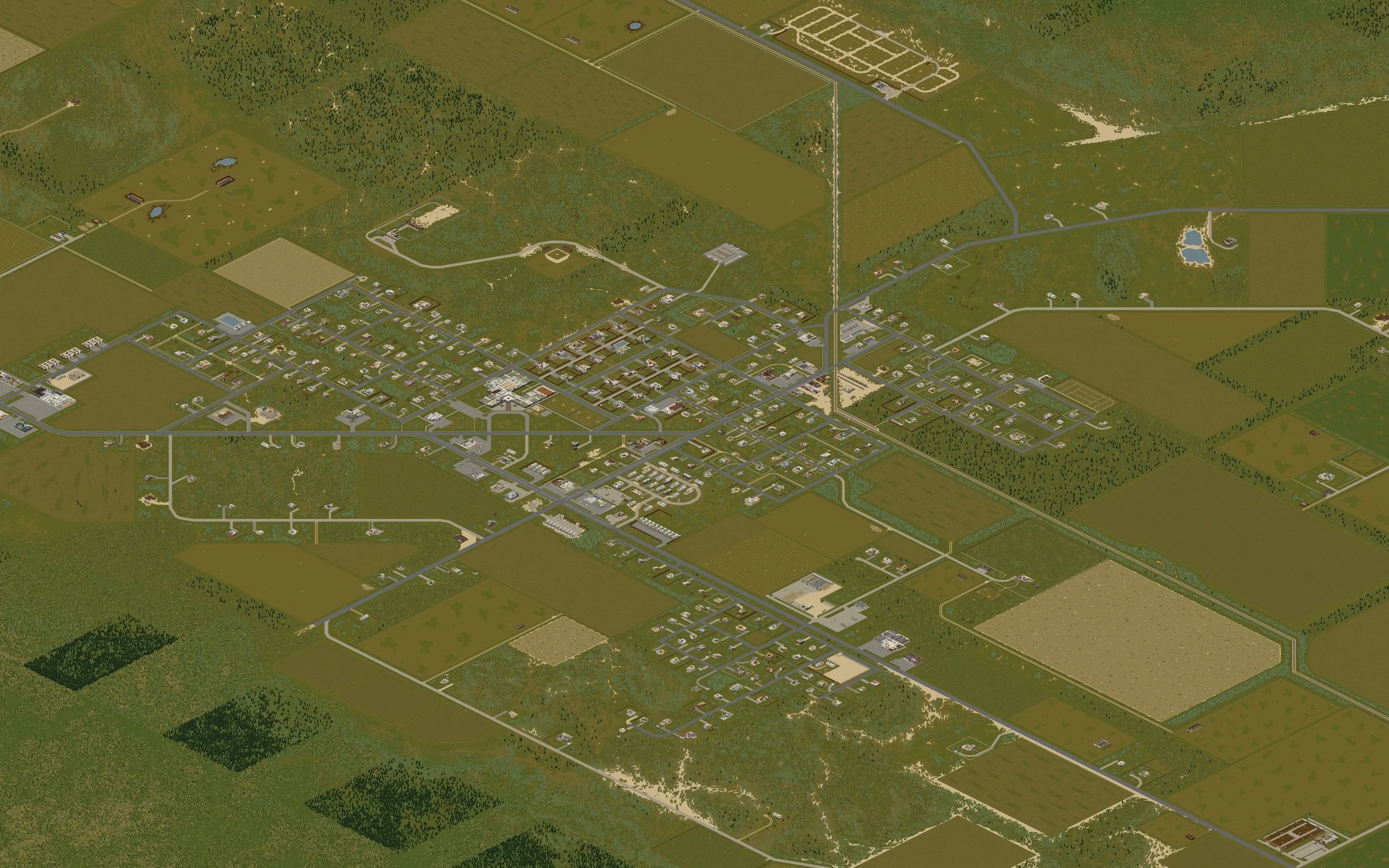
Markers are placed from the world tile coordinates published for each location, the same pair the in-game debug map shows.
- Coordinates
- 2498, 14253
- Cell (B42)
- 9, 55
- Cell (B41)
- 8, 47
- Start location
- Custom Sandbox
About Irvington
Irvington is the south western town Build 42 added, on KY-79 below Echo Creek, modelled on the real Irvington, Kentucky. It is agricultural: crop fields and livestock pastures ring the whole town, and there are no defined districts inside it. The population is spread fairly evenly and thickens as you get closer to the train tracks.
Difficulty lands roughly where Muldraugh does, which makes it the most approachable of the four new towns after Echo Creek, and it is about a third larger than Ekron. The named stops are worth a route: Well Regulated Militia Gear and Supply, the Irvington Gun Club, the Mass-Genfac Co. warehouse, the fire department, Hobbs and Perkins Hardware and Brott Cattle Farm. Irvington Speedway sits out on its own to the north.
Notable locations in Irvington
Named buildings and sites with their world tile coordinates.
- Irvington Police Station2500, 14250
- Irvington Rail Depot2460, 14200
- Irvington Grocery2530, 14290