Project Zomboid Tools
Project Zomboid Doe Valley Map
A huge stretch of farmland in the middle of the map, and the quietest place to settle.
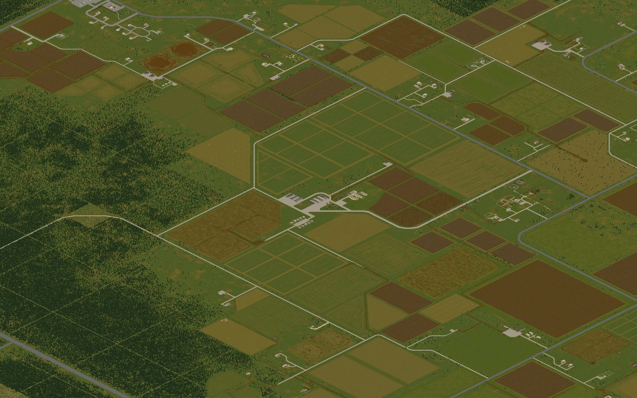
Markers are placed from the world tile coordinates published for each location, the same pair the in-game debug map shows.
- Coordinates
- 6734, 10020
- Cell (B42)
- 26, 39
- Cell (B41)
- 22, 33
- Start location
- Not a spawn
About Doe Valley
Doe Valley is not a town, it is the farmland that fills the north-central part of Knox Country, with Riverside above it, Rosewood below and Doe Valley Forest to the west. Fallas Lake sits inside it. Most players cross the Valley without stopping, which is exactly why it works as a home: the zombie population across the fields is genuinely low.
What is out here is spread thin and worth knowing. An unnamed hamlet in the west, which players call Jamieton, holds Lenny's Car Repair, County Offices, a food market, a medical clinic and the Jamieton Army Surplus, the best loot in the region and the busiest spot in it. Produce warehouses across the fields hold crates of fruit and vegetables that rot within a week but compost forever. Two properties in the east, including Hodgetts Farm, have wells for infinite clean water.
Notable locations in Doe Valley
Named buildings and sites with their world tile coordinates.
- Doe Valley Country Club6800, 10100
- Doe Valley Marina6550, 10050