Project Zomboid Tools
Project Zomboid Ekron Map
The westernmost town in Knox Country, cut in half by a fenced railway.
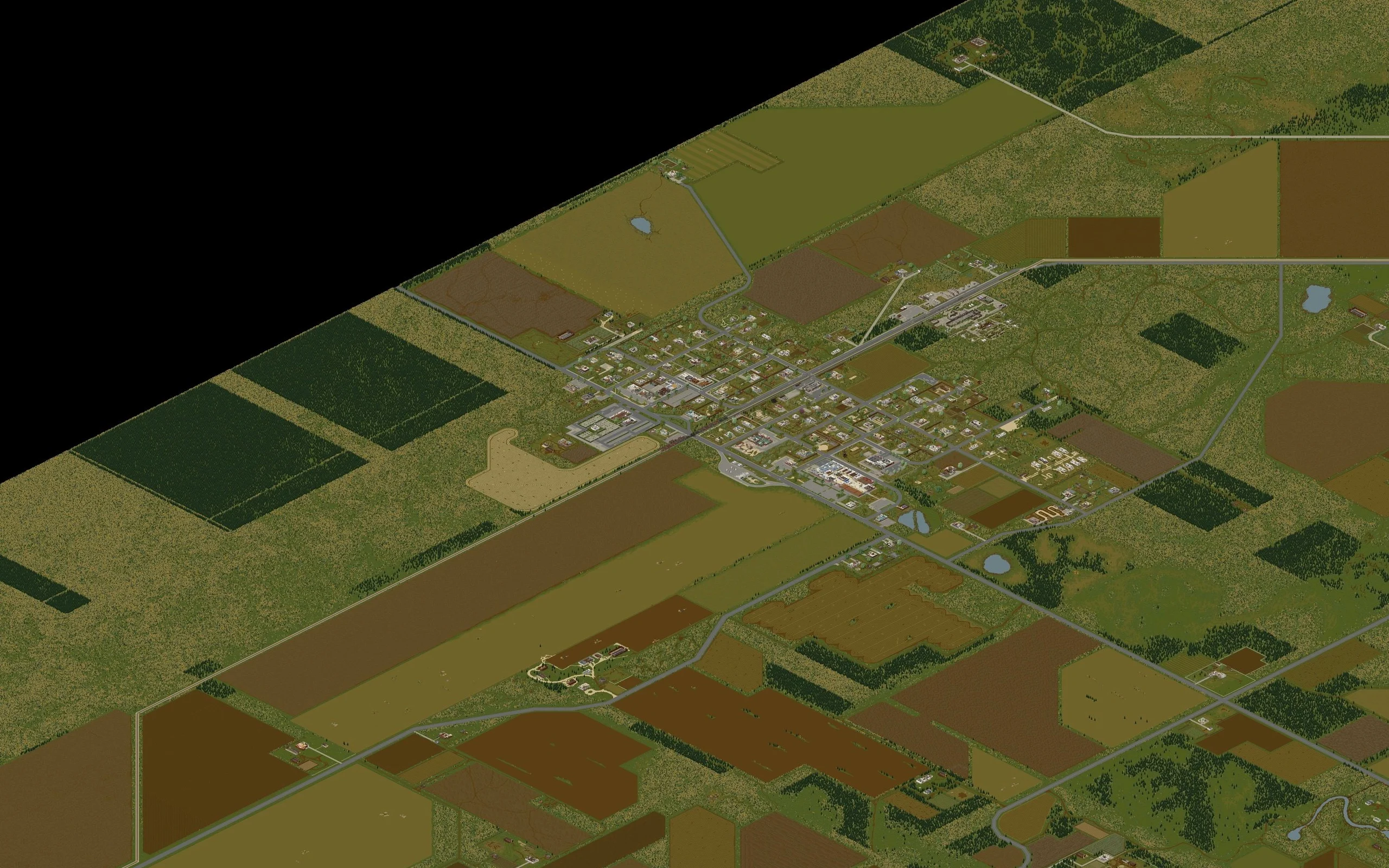
Markers are placed from the world tile coordinates published for each location, the same pair the in-game debug map shows.
- Coordinates
- 546, 9891
- Cell (B42)
- 2, 38
- Cell (B41)
- 1, 32
- Start location
- Custom Sandbox
About Ekron
Ekron sits at the very western edge of the playable map, past Echo Creek, and its defining feature is the railway running straight through it. The track is walled off with barbed wire fencing that cannot be climbed, and there are only two crossings. The southern one is blocked by a wrecked train, so anything on four wheels has to use the northern road.
The layout is the inverse of Irvington: a quiet northern residential district, and a dense commercial strip along KY-144 where both the loot and the crowd live. Ekron Community College alone commonly holds over five hundred zombies in and around it, which is the one fact worth knowing before you walk in. Barrel o' Gun, the fire department, Bookman's Holiday and Home Sweet Gnome are the named stops.
Notable locations in Ekron
Named buildings and sites with their world tile coordinates.
- Ekron General Store560, 9880
- Ekron Gas Pump520, 9910