Project Zomboid Tools
Project Zomboid Valley Station Map
The last stop before Louisville, with a mall, a hunting lodge and a shooting range.
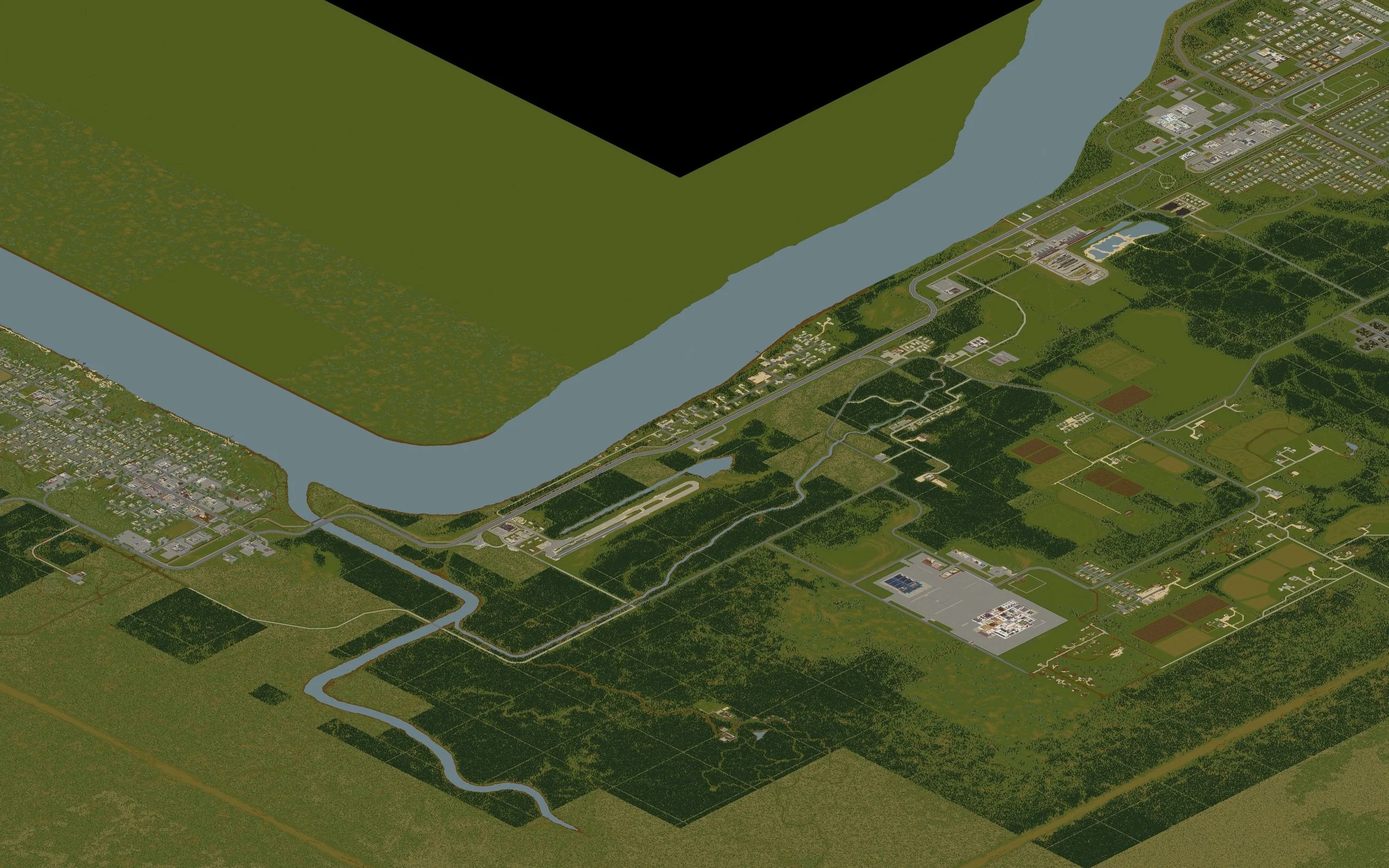
Markers are placed from the world tile coordinates published for each location, the same pair the in-game debug map shows.
- Coordinates
- 12672, 5718
- Cell (B42)
- 49, 22
- Cell (B41)
- 42, 19
- Start location
- Custom Sandbox
About Valley Station
Valley Station is the long rural area south of Louisville, strung along Route 31W where the highway runs beside the Ohio River. It is a Custom Sandbox start rather than a normal spawn, and it is the natural staging post for anyone heading north: the Exclusion Zone border fence and the Kentucky Rail trainyard both sit at its northern end.
The draw is the loot mix. Crossroads Mall covers almost everything in one building, while the Knob Creek Hunting Lodge and the shooting range beside it make one of the easiest firearm and ammunition runs in the game. Inland the area turns into spread-out farms and houses with almost no businesses, which makes it a quiet place to base within driving distance of the city.
Notable locations in Valley Station
Named buildings and sites with their world tile coordinates.
- Greene's Grocery12650, 5700
- Valley Station Gas12700, 5760